
Following a Melrose Street Directory Trail
An address is a useful key, but it is not one uniform record. The city map can point to a parcel. The assessment card can display a fiscal-year owner and building facts. The registry can document recorded parties and plans. A directory or street list can record who was printed at an address in a particular volume. Together, those sources make a careful Melrose by-address workflow. They do not prove that every person connected to an address is there today.
Keep the source order steady. A postal normalization avoids a bad street form. A parcel map then anchors the location. The property card supplies a parcel or owner clue. The registry tests the recorded trail. Historical materials and a focused city request fill only the gaps that their own record types can answer.
- Use USPS ZIP Lookup to normalize the street address, unit details, and postal form.
- Search Melrose GIS for the street segment and parcel, then note the map date and parcel identifier.
- Run the same street name and number in Patriot Properties to read the fiscal-year card.
- Use the Middlesex South Registry property and deed routes to test recorded land, registered land, and plans.
- Scan a dated directory or street list, then seek permits or another existing city record through a focused municipal request when the online trail ends.
Note: Label a match by its source, such as assessed owner or directory entry, instead of converting it into a present-occupant claim.
Melrose Street Address Normalization
The USPS form accepts street address, optional company and apartment or suite information, city, state, and an optional ZIP. It also has city-and-state and ZIP-only modes. Its result standardizes a delivery address. It does not identify a person or prove that an organization uses the location. Preserve unit information where it is known because one parcel can contain more than one addressed space.
Postal geography and local records answer different questions. The current standard postal association is 02176, but the research does not treat a ZIP boundary as the Melrose city line. The 02177 association appears in a state statistical source, while its current street-delivery role was not verified by USPS. Check an actual address instead of applying either ZIP to a full street.
Melrose Street Directory Property Fields
The Patriot Properties search accepts a street name and street number, making it the principal address form in the Melrose street directory trail. It has no ZIP filter. All fields below appeared as optional on the inspected form. Start narrow with street name and number; add a parcel or owner clue only when the first result set is too broad. The output is assessment data, so the fiscal year should travel with every note.
| Visible field | Input type | Street-search use |
|---|---|---|
| Parcel | Text | Match a known GIS identifier. |
| Building type, lot size, total value | Text or range | Separate parcels with similar street results. |
| Owner | Text | Find the assessor's displayed owner name. |
| Year built, finished size, sale price | Range | Refine a property-card search. |
| Street name, street number | Text | Core by-address inputs. |
| Beds, baths, sale date | Range or date-style field | Narrow a returned set. |
| NHood, LUC | Code and description lookup | Use the displayed neighborhood or land-use classification. |
| Book, page | Text | Carry a deed reference into registry research. |
Patriot's card may show a site address, mailing address, values, sales, exemptions, and building details depending on the record. The mailing address is a delivery clue, not evidence of a household at the site.
Melrose Street Parcels and GIS Layers
The Melrose GIS viewer provides address and parcel context across parcels, streets, zoning, buildings, and other city layers. Use a parcel click or map search to identify the mapped unit and examine nearby geometry. The complete live control labels were not available in the research text, so this process should be documented by the result and map date, not by assumed button names. GIS data cannot establish title, a legal boundary, or current occupancy.
The Melrose GIS parcel viewer is the map-driven start for a Melrose street directory address search.
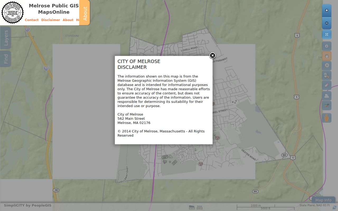
Use the visible parcel identifier to connect the map with the assessment card and registry search, then preserve the date because the layer can change.
The MassGIS property-tax parcel documentation explains the statewide comparison layer and its release context.
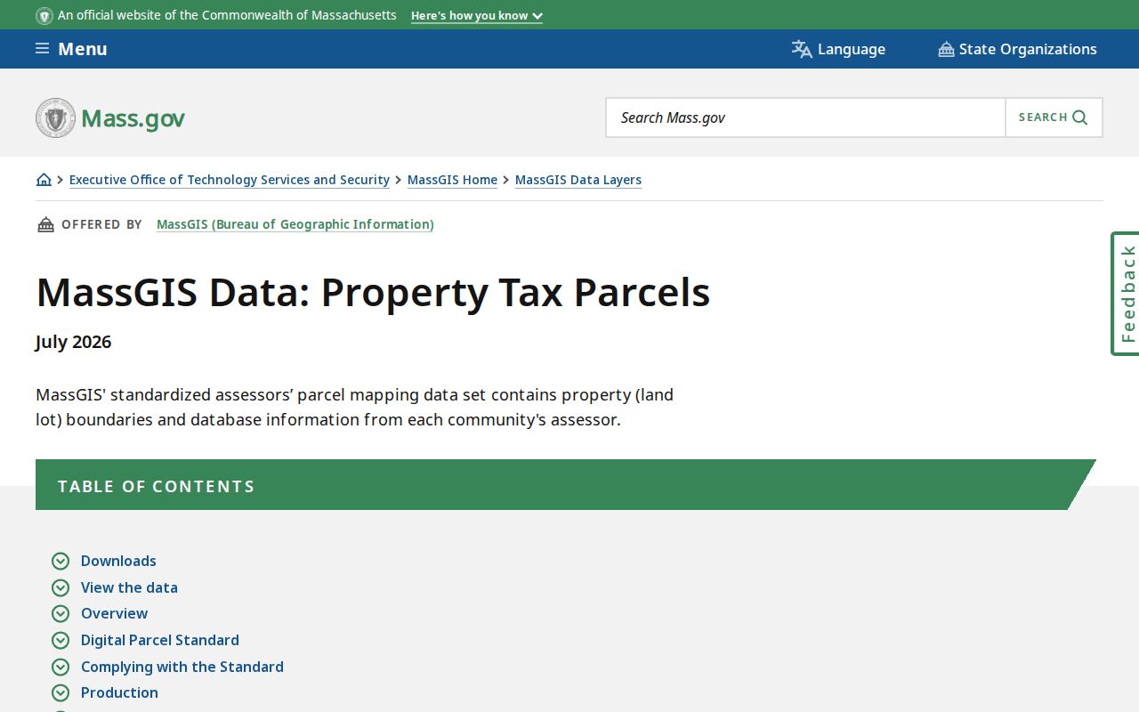
MassGIS cautions that parcel boundaries and orthophotos can differ. Recorded deeds and plans control legal-title and boundary questions, while the map remains useful for geographic orientation.
Melrose Street Deed Chains
Melrose land records belong with the Middlesex South Registry of Deeds. Its portal separates Recorded Land, Registered Land, Plans, and Registered Land Plans. A title-oriented address search begins with a property or current grantee result, then traces that grantee to the latest deed and searches the deed's grantor as an earlier grantee. Legal descriptions, plans, entity names, book/page references, and spelling variants can each explain why a street query looks incomplete.
Recorded Land's name form has two party rows, with business or last name, first name, middle name, party type, document type, town, and recorded-date controls. The portal also offers document number, book/page, property, recorded-date, and unindexed-books 1 through 1024 routes. Its online search, viewing, printing, and downloading are free, subject to a first-1,000-results cap. Before concluding there is no record, test registered land, unindexed books, plans, and the registry office.
The registry office is at 208 Cambridge Street, Cambridge, with recording hours Monday through Friday, 8:00 a.m. to 3:45 p.m. The exact oldest online year was not located in official source text, so book numbers should not be converted into guessed years.
Melrose Street Records by Address
Address-keyed sources cover different parts of a street record. Use the table as a separation tool rather than a list of interchangeable names. The public map explains mapped context. The assessor card is a fiscal-year record. The registry preserves recorded documents. A dated directory describes what was printed at that time. Municipal request routes can identify existing address records when a public web index was not found.
| Address record | What it can show | Custodian | Access route |
|---|---|---|---|
| Property card | Assessed owner display, site and mailing clues, value and building fields | Melrose Assessor | Patriot online search |
| Parcel map | Street segment, parcel geometry, zoning, buildings, nearby parcels | Melrose GIS / MassGIS | Map viewer and state documentation |
| Deeds and plans | Recorded parties, transfer, legal description, plan and easement clues | Middlesex South Registry | Free index and images; office fallback |
| City census | Annual name, address, date-of-birth, and occupation fields under law | Melrose City Clerk | Municipal rules and statutory limits |
| Directory and street list | Historical printed name and address line | Local History Room | Digital scan or appointment shelf |
| Permits or code cases | Addressed work or case record where maintained | City department | Forms and focused records request |
Parcel, street, and source date are the useful linking fields. They do not make every record a list of people on a street. The individual voter lookup cannot export a whole-street result, and public-voter-file access has statutory controls.
Melrose Street Numbers and Names
The Melrose municipal code assigns visible building numbers through the City Engineer and addresses public and nonpublic street naming through municipal processes. A current number should therefore be checked against the code, a dated map, and a directory volume when an older reference is involved. The assessor parcel number and a registry legal description are not interchangeable with a street address.
The building-number and street-naming code is the official lead for how Melrose assigns visible numbers.
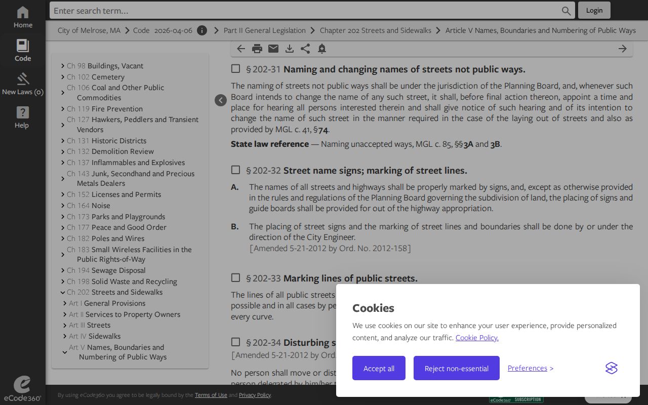
No citywide historical renumbering or E911 readdressing project was found in the official research. A reported earlier name pair is only a lead until a dated map, code action, directory scan, or focused city response confirms it.
Melrose Street History Checks
Historic property work is a useful companion to a Melrose street directory address search, but it documents the building and its setting rather than the present people connected to it. The Melrose Historical Commission provides historic-inventory and home-research guidance. Pair that guidance with the directory year, the street number used at that time, and a scanned map before drawing any address conclusion.
The Historical Commission resource supplies a city-supported route for historic-property research.
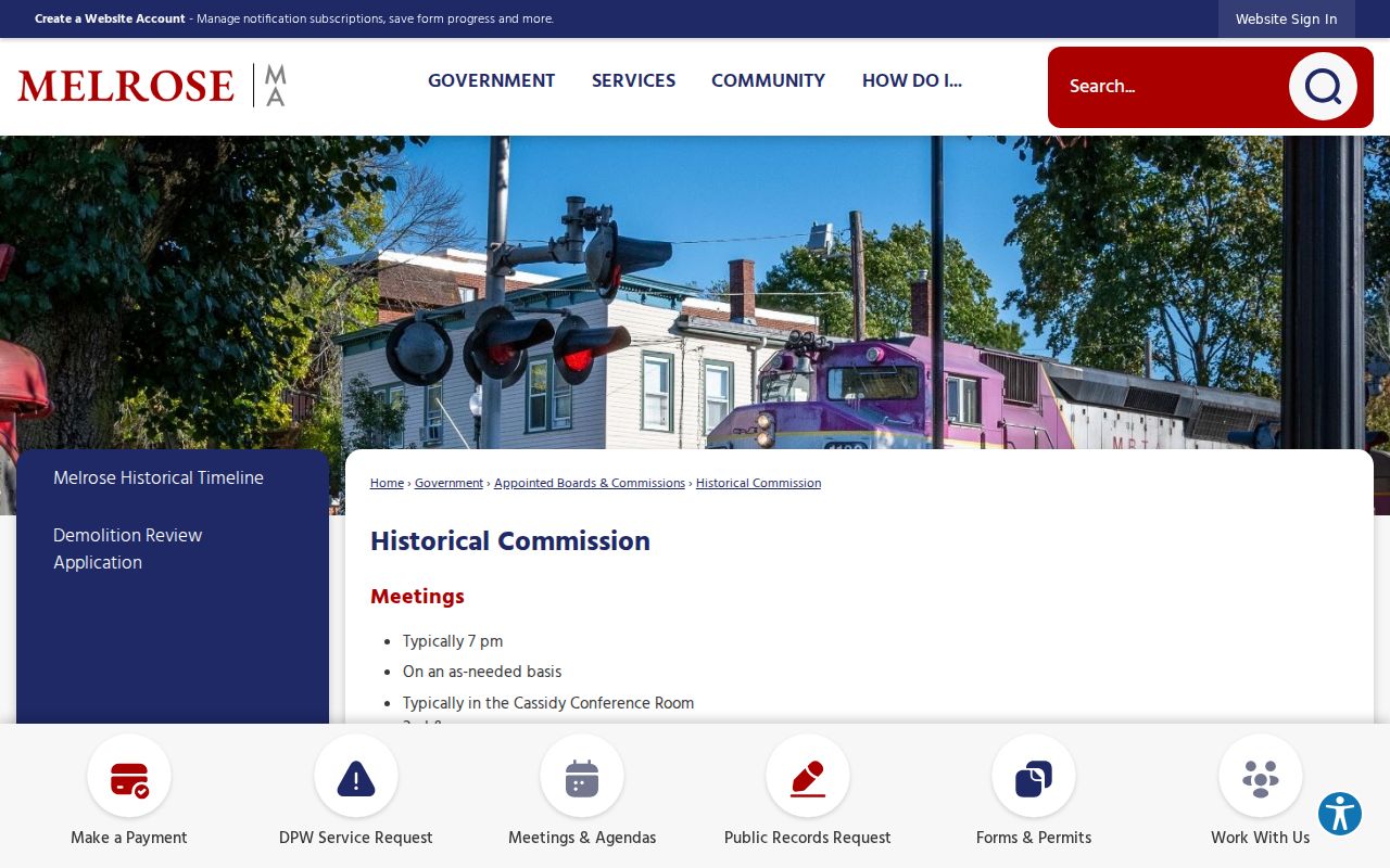
A historic inventory can lead to maps, atlases, or other building evidence, but it should not be used to identify a current household.
The city's Explore Melrose hub gathers historic maps, boundary information, zoning, transit, and local map resources.
The 1874 map and related resources are leads for date-specific geographic context. They do not verify a street-name alias without image-level confirmation.
Melrose Street Lists and Census Limits
The Melrose City Census says the annual form is mailed early in January to registered-voter households. It records name, address, date of birth, and occupation under legal access rules. The form is an annual municipal residence record, not an unrestricted online street-list resource. Failure to return it can lead to inactive voter status, and reactivation requires the city's stated procedures.
The annual city-census information explains the local form and its street-list boundary.
For past addresses, the Local History Room holds directories and street lists from 1872/73 forward, including hard copies to the present. The digitized 1872/73 to 1940 run is incomplete, so a missing online volume should be checked against the appointment-only shelf. The Melrose city directories collection is the natural place to compare those dated volumes.
Melrose Street Permit Records
Addressed permits and code records can be useful for a property history because they may contain a date, work description, or applicant and owner field where maintained. The city has permit and license applications, but official research did not locate a citywide searchable permit or code-case index. Do not infer a search screen from a form page or turn the absence of a public result into a conclusion about the address.
The fallback is a narrow request through Melrose NextRequest. Ask for an existing record, name the address and date range, identify the likely department, and request redaction where protected information appears. Under Massachusetts Public Records Law, principally G.L. c.66 §10, agencies generally respond within ten business days to sufficiently specific requests for existing records.
Note: A focused request for an existing permit log is more practical than asking a custodian to compile a street history from many systems.
Melrose Street Research Terms
Street research becomes clearer when the record terms are kept distinct. These definitions describe how the Melrose address trail is organized, not how a person should be labeled.
- Parcel
- A mapped tax or land unit that can link GIS, an assessment card, and a registry search.
- Situs address
- The physical property address on a card, which can differ from a tax mailing address.
- Plan
- A recorded map or drawing that may clarify parcel lines, easements, or a legal description.
- Criss-cross directory
- An address-ordered directory or street-list format; Melrose's street-list and directory collection is the source lead to inspect.
Use a parcel identifier and a date with each term. A long parcel can have more than one frontage, and a condominium can have unit-level details that are not apparent from a tax polygon.
Limits of Melrose Street Records
Street records do not establish every private occupant, household member, utility user, or motor-vehicle address. An owner display is not a present-occupancy finding. A directory entry is not a current one. GIS shows mapped context, not title. City and state voter tools have protected fields and controlled access. When sources conflict, preserve both dates and use the narrower label that each source supports.
Massachusetts' G.L. c.265 §43 sets a legal boundary against stalking. Repeated unwanted conduct, threats, and conduct that places a person in fear are not made acceptable by the existence of a public record.