
Melrose Neighbors by Adjacent Parcel
A neighbor question has a narrow public-record meaning in Melrose: identify the parcels that touch or face the parcel being researched, then describe what each dated record actually says. The Melrose GIS can show parcel geometry and physical context. Patriot can show an assessed owner, mailing address, situs address, values, sale fields, and building fields for a fiscal-year card. Middlesex South land records can show a recorded party, document, or plan. Those are distinct facts. They do not establish a current household or prove that an assessed owner lives at a property.
| Source | What It Shows About a Block | Access |
|---|---|---|
| Melrose GIS | Parcels, streets, zoning, buildings, roads, parks, and map context | Public map viewer |
| Patriot property card | Fiscal-year assessment fields for one parcel | Public property search |
| Middlesex South Registry | Recorded parties, deeds, legal-description leads, and plans | Public index and document viewing |
| State voter lookup | One person’s registration status, polling place, and representatives when a result is available | Name, date of birth, and residential ZIP |
| Community Connection | Public civic and nonprofit organizations near the community | Public organization directory |
Start with the smallest reliable description: adjacent parcel, map date, and record date. A parcel may be vacant, rented, held in trust, or associated with a mailing address elsewhere. A former directory line is an older publication snapshot. Melrose has no official public block roster that turns these separate sources into a verified list of everyone living nearby.
Map Melrose Neighbor Parcels
Use the map for adjacency before using any name field. Search or navigate to the address in the city viewer, note the map date and visible layers, and click the parcels that border the target parcel. The research did not capture a complete set of dynamic select, measure, or buffer controls, so a fixed-radius result should not be promised. Record the parcel identifiers actually displayed instead of assuming every nearby lot falls within a map tool’s selection.
- Open Melrose GIS and locate the street address.
- Save the map date, visible parcel layer, and each directly adjacent parcel identifier.
- Open each identifier in Patriot and label the card by its fiscal year.
- For a title or boundary question, search Middlesex South for the recorded document or plan.
- Use the Melrose by-street directory only when the question expands from the immediate block to a whole street history.
Keep the map click, assessment card, and registry result in separate notes. The map gives a spatial relationship; the assessment card is a municipal valuation record; the registry holds recorded-land material. Repeated names across the three sources still require caution because the same name can refer to different people or roles.
Melrose Neighbor Map Limits
The statewide Massachusetts Interactive Property Map is a comparison layer when local mapping is unavailable or a parcel is near a municipal edge.
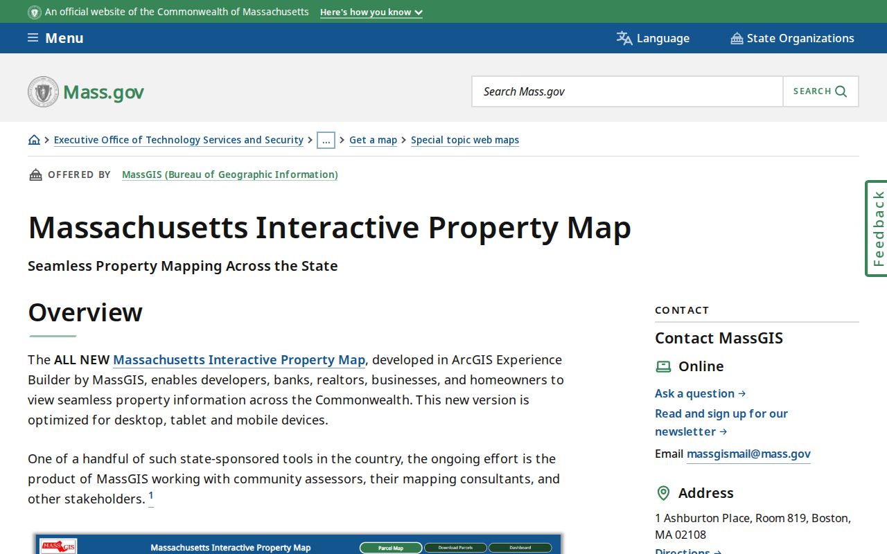
For Melrose-specific streets, zoning, buildings, pools, driveways, roads, parks, boundaries, and routes, the local GIS is the more useful starting point. Mapping remains mapping. It does not decide a disputed boundary, easement, title, or occupancy. Check a recorded plan and deed for legal dimensions, rights of way, and the language that the map alone cannot supply.
The Massachusetts Municipal Mapper provides another statewide municipal comparison source.
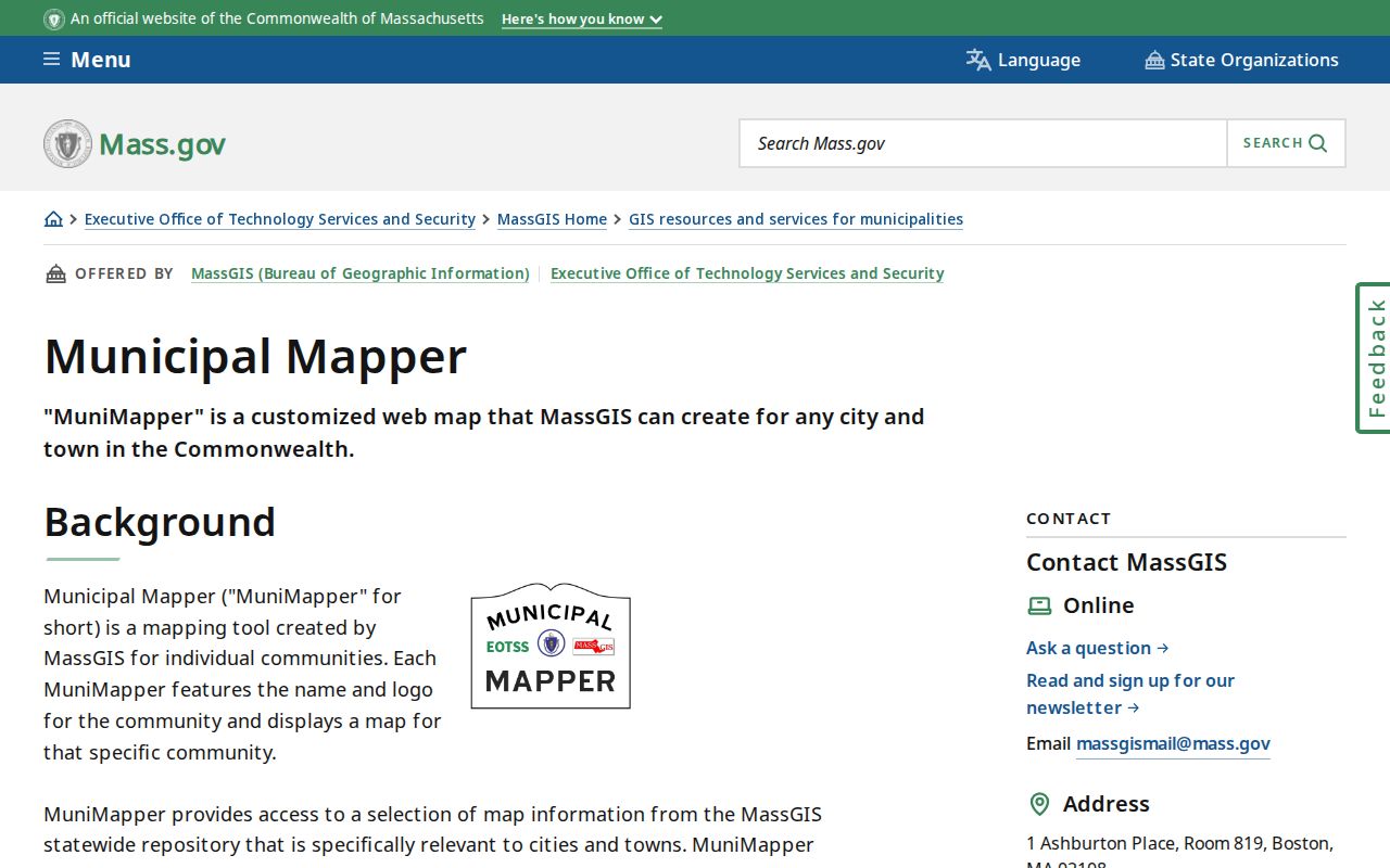
Use it to check municipal context, not to create a resident list. The MassGIS parcel documentation also cautions that parcel boundaries and orthophotos can differ. Note: A map edge should be treated as a research lead until the recorded plan or deed supports the conclusion.
Melrose Neighborhood Orientation
Neighborhood labels are orientation aids, not parcel boundaries. Recent city descriptions place Melrose Highlands in the northwest Ward 1 area, West Wyoming and West Foster around Ward 3, and the Oak Grove and Middlesex Fells side in Ward 5. Main Street, Mount Hood, and Swains Pond are associated with Wards 6 and 7. These labels can help a researcher describe a part of the city without deciding who belongs to a neighborhood.
Melrose has 14 precincts. The state precinct map is effective December 31, 2021 and is useful for the geometry and population context it documents. It must not be presented as a current precinct assignment or a neighborhood roster. City, ward, precinct, parcel, postal area, and Census geography each answer different geographic questions.
- Adjacent parcel
- A mapped lot that touches the target parcel. It is not a statement about a household relationship.
- Situs address
- The property location shown on an assessment card, which can differ from an owner mailing address.
- Recorded land
- A registry record of a document or plan. It is evidence of a filing or title trail, not proof of present occupancy.
Melrose Neighbor Organization Layers
Public organization listings can add community context after the parcel work is complete. They do not identify a block’s residents. The city’s Community Connection lists civic and nonprofit organizations, while the Chamber is a voluntary business association. Neither source confirms that a person living near an address belongs to a group, and neither is an official neighborhood-association member directory.
| Public layer | Useful question | What it cannot establish |
|---|---|---|
| Melrose Community Connection | Which civic or nonprofit organizations have public listings | A block-level member or household roster |
| Melrose Chamber directory | Which public-facing member businesses or organizations are listed | Residence, ownership, or membership of nearby households |
| Mount Hood Park Association | A planning-material lead for local context | An official current member directory, which was not located |
The Community Connection includes organizations such as civic, arts, education, library, recreation, and nonprofit groups. Treat each listing as a public contact lead. Do not merge it with a property card, voter result, or a historical directory entry to infer a person’s home address.
Melrose Neighbor Business Layer
The Melrose Chamber active-member directory offers keyword and category searching with alphabetical navigation for a public community-business layer.
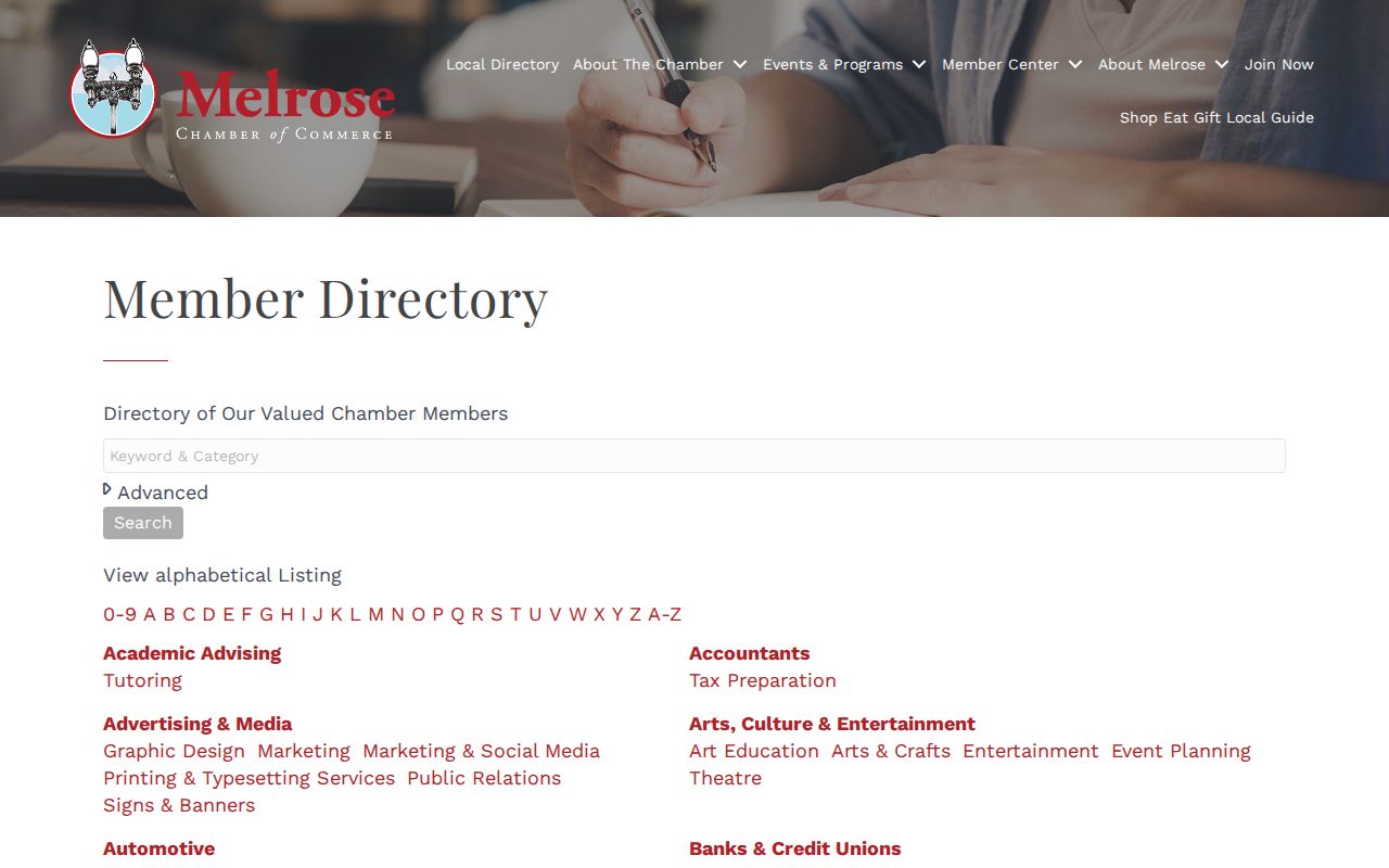
A Chamber entry can help find a public-facing organization or storefront-facing contact. Membership is voluntary and changing, so it should not be treated as an official filing, a license verification, or a record of nearby people. The city Community Connection is the better civic layer; the Chamber is the business and organizational layer.
| Category | Best use | Limit |
|---|---|---|
| Official parcel and registry records | Parcel, assessment, recorded-document, and plan questions | Do not prove current occupancy |
| Civic and business directories | Public organization and contact discovery | Not a household roster |
| Commercial neighbor-search category | May compile changing third-party data | Accuracy, matching, correction, and lawful-use practices vary |
Melrose Neighbor Voter Limits
The Massachusetts voter portal is an individual-status tool, not a block search. It requires a name, date of birth, and residential ZIP code. A successful response may show registration status, polling place, and state or federal representatives. It cannot be used to export a nearby-address list, and a nonmatch does not establish that a person never lived in Melrose or has moved away.
Municipal voter-file access is controlled by G.L. c.51. The research found no public official block roster or confirmed GIS or voter ZIP filter. A voter result, an assessment owner, a deed party, and a current occupant are four different categories. Preserve that distinction even when an address looks familiar.
Date Melrose Neighbor Records
Reliable neighbor research is reproducible because it preserves the route, not because it produces a long list. Record the GIS map date and layers, each adjacent parcel ID, the Patriot fiscal-year card, and the registry document or plan reference. If a historical question remains, use a dated directory, map, or library source and label it as a historical snapshot. Never replace a current map question with a historical directory result.
The City Engineer controls visible building-number assignment under the municipal code. Parcel identifiers, legal descriptions, street addresses, and postal labels are not interchangeable. For an uncertain street number or historic address, a focused Melrose public-records request can seek an existing engineering or municipal record by address and date range. It cannot require the city to assemble a new neighborhood list.
Three dates can be especially useful for one parcel: the map date, the assessor fiscal year, and the latest recorded document date found. They describe different events and may not change together. A dated local directory can add a fourth, historical address clue. Write each source beside its own date instead of combining them into one present-tense claim about a neighbor.
Note: Keep a no-record or redacted response with the request number rather than treating it as evidence that no one is connected with a parcel.
Protect Melrose Neighbor Information
Absence from a search result is not proof of departure. Massachusetts’ Address Confidentiality Program supplies substitute addresses and mail forwarding to eligible survivors and certain protected health-care providers. Protected voters and confidential personal fields must not be reconstructed from a map, filing, old directory, or another public source. A missing address may be deliberate and lawful.
Keep searches tied to a lawful personal, civic, or historical purpose. Avoid publishing unnecessary identifiers, making repeated unwanted contact, or trying to expose a confidential location. G.L. c.265 §43 sets the Massachusetts stalking-law boundary for repeated conduct directed at a person that causes fear or serious emotional distress.
Limits on Melrose Neighbor Lookups
The defensible answer to a neighbor question is often narrower than expected: these are the mapped parcels beside an address, this is the assessment card’s fiscal-year owner display, and this is the recorded-land trail or public organization listing. No source found provides a verified public roster of current Melrose households by block. That limit protects both accuracy and privacy.
For a disputed line, use the recorded plan and deed. For a full street chronology, use the Melrose by-street directory. For one historical name or a dated household entry, use the Melrose city-directory collections. Each route answers a different question without turning nearby property into a profile of the people who may live there.