
Melrose Address History Sources
A backward address trail begins with the present parcel, then moves into records that describe earlier moments. Use the fiscal-year Patriot card to orient the property and identify its parcel fields, while keeping “assessed owner,” situs address, and mailing address distinct. The card is not proof that a person occupies the site or that recorded title has not changed after its fiscal-year snapshot. Next, test the property in the registry and historical collections. The date and source type are more useful than a single broad label for past residents.
| Source | Years It Covers | Where Held | What It Shows |
|---|---|---|---|
| Patriot property card | Current fiscal-year card; exact historical online range not located | Melrose Assessor / Patriot Properties | Assessed-owner display, parcel, situs and mailing fields, value and sale details |
| Middlesex South recorded deeds | Exact oldest online year not located | MassLandRecords | Recorded parties, documents, book/page references, legal descriptions and plans |
| Melrose city directories and street lists | 1872/73 forward; digital run through 1940 with gaps | Local History Room / NOBLE Digital Heritage | Dated printed name and address snapshots |
| Sanborn maps and historic atlases | Sanborn maps 1887-1934 | Local History Room microfilm and local collections | Building footprint, street, and map context |
| Municipal reports and existing records | Depends on the item requested | Melrose archives or NextRequest | Existing documents, dated records, and released responses |
Start with an address-normalized parcel, then use the recorded transfer and directory date that fit the period being studied. Melrose GIS supplies parcel geometry and abutter context, but the registry deed and recorded plan control title and boundary questions. The GIS is a map layer, not an occupancy record.
Three Dates for a Melrose Address
For one address, keep three dates visible instead of blending sources together: the directory volume year, the assessor fiscal year, and the recorded date on the latest deed located. The Patriot Properties search accepts owner and address searches and can show a parcel card with assessed-owner, situs, mailing, sale, building, and value fields. Its fiscal-year context must remain attached to every result.
A situs address identifies the parcel. A mailing address is a tax-bill destination and can be elsewhere or associated with an entity. An assessed-owner display is the assessor’s record for that card. None answers, by itself, who occupied the property on a particular day. Comparing them with a recorded deed and a city-directory page prevents a plausible looking but unsupported timeline.
Keep the labels separate. Write “assessed owner on the fiscal-year card,” “recorded party on the deed,” or “directory entry in the volume year,” rather than calling each person a resident.
Trace a Melrose Deed Chain
Melrose is assigned to the Middlesex South Registry of Deeds. Use the latest grantee deed as the point of departure. In a standard backward chain, the party who received that deed becomes the name to search as a prior grantee, and the earlier grantor becomes the next historical link. Preserve the legal description and the book/page or document number while checking each image. Street numbers can change or be written differently; the recorded legal description is often the more durable link.
- Open the current fiscal-year Patriot card and note the parcel, situs address, assessed-owner display, and any book or page clue shown.
- Search Middlesex South Recorded Land by party, property, document, book/page, or recorded date for the most recent matching transfer.
- Open the image and preserve its grantee, grantor, recorded date, document number or book/page, legal description, and plan reference.
- Search the prior grantor as an earlier grantee, then repeat the same documentation step backward.
- When the result is unclear, check the property route, plans, registered land, unindexed books, and the registry office before declaring a break.
- Grantor
- The party transferring an interest in the recorded instrument.
- Grantee
- The party receiving that recorded interest.
- Chain of title
- The sequence of recorded transfers used to follow a property interest backward or forward.
- Legal description
- The deed’s written description of the property or interest. It should be copied from the recorded image, not guessed from a street address.
Middlesex South Registry Routes
The registry separates several search paths. Recorded Land offers Name, Document, Book, Property, Recorded Date, and Unindexed Property searches for books 1-1024. Registered Land and its plans are separate systems, with their own name, document, book, property, certificate, recorded-date, and plan routes. A name search also exposes party rows, party type, document type, town, recorded-date limits, and compressed or like options. The fact that a book number appears in an unindexed route does not establish a calendar-year cutoff.
Searching, viewing, printing, and downloading are described as free by the portal, subject to its interface and result limits. Results are capped at the first 1,000 rows. Certified copies are listed at $1 per page, and recording charges can change, so check the official registry fee schedule at request time. The oldest online coverage year was not located in official text. Treat that as unresolved rather than inferring it from book numbers.
Note: A failed Recorded Land search is a reason to test Registered Land, plans, unindexed books, or the registry office, not proof that no Melrose transfer exists.
Historic Melrose Address Aliases
Historic work can fail when an address is searched only under a current spelling. The Melrose street and address code gives the City Engineer responsibility for building numbers and describes the City Council’s authority over public street-name changes after a hearing. It is a current administrative rule, not a historical conversion table. No citywide historical renumbering date was located in the research.
Older references to Laurel and Cedar, Linwood and Chelsea, or Upham and Church are leads, not confirmed interchangeable pairs. Test each possible alias against a dated directory image, historic map, municipal code record, archive document, or public-record response. The street-address provision can explain who maintains current names and numbers; it does not supply a verified date for an earlier transition.
- Write the modern street name and number exactly as it appears on the parcel record.
- Check the GIS parcel and street layer for alternate frontage or a changed label.
- Search a dated directory or street-list scan under both the modern and possible historic form.
- Compare an atlas, Sanborn map, or municipal document before treating an alias as confirmed.
- Record the source year, spelling, number, and confidence label for each transition.
Pair Melrose Directories and Census
Recorded title is only one layer in a house history. For the household layer, use the dated street-list or city-directory volume from the Melrose city directories collection, then pair that volume with the nearest relevant federal census. Do not say a census line has been located unless the original census result is in hand. The useful method is comparison: preserve the directory page, then test whether the census year nearest to it supports the same name, address, or household context.
- Choose the directory or street-list volume closest to the period in question.
- Capture the printed surname, initials or given name, street and number, volume year, page, and abbreviations.
- Check neighboring available directory years for a move, spelling change, or disappearance.
- Use the nearest relevant federal census as a separate source and record its own date and description.
- Compare the publication snapshot with the deed chain, newspaper microfilm, or municipal report without turning one source into another.
The Local History Room holds directories and street lists from 1872/73 forward, hard copies to the present, and a noncontinuous digital run from 1872/73 through 1940. It also has town and city reports, yearbooks, newspapers on microfilm, vertical files, and family histories. These are access channels for checking a past household when one scan or year is missing.
Melrose Building-History Evidence
Building history should be kept distinct from a list of people. The Local History Room’s Sanborn maps cover 1887 through 1934, and its late-nineteenth-century atlases add map context. The Melrose Local History Books collection gathers digitized books, maps, and historical material that can help test a street pattern or building footprint. These sources can show physical and civic context even when a directory does not resolve the household question.
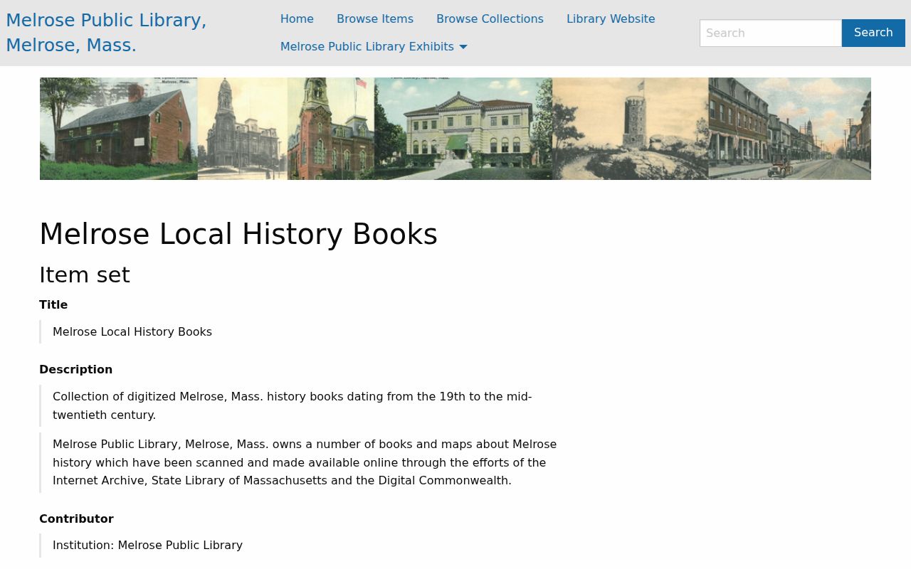
The image shows the local-history collection that supports map and book research alongside the address trail, rather than a record of any present or past occupant.
The Library of Congress record for the Phineas Upham House is a useful example of this boundary. Its HABS material documents the building through photographs, measured drawings, and data pages. It is building-history evidence, not evidence about an occupant. Use this evidence ladder in order: HABS or maps for the structure, deed and plan for recorded title, directory for a publication snapshot, then newspapers or municipal files for dated context.
Request Melrose Address Records
When a date, street change, permit log, or municipal file is not available through a direct search, use Melrose NextRequest for an existing record. The portal offers request search, a request form, and released documents. Under the Massachusetts Public Records Law, G.L. c.66 §10, a request should identify the department, record type, date range, street or parcel, and desired format. A written request makes the scope and response trail easier to preserve.
The city is not required to create a new compilation or perform research to answer who lived at an address. Ask for an existing City Council street-name record, a building-number assignment record, a dated permit log, a board packet, or a GIS-layer description. The city archive and DocAccess are additional municipal access points. A redacted release, an exemption citation, or a no-record response is still useful evidence about the search route.
Lawful house-history use. Use Melrose past-residents records for family history, estate or heir research, civic context, and personal property history. Do not use an address trail to harass, stalk, or harm a living person.
Melrose Historical Confidence Labels
Clear labels keep a long address trail honest. Use High for a direct official record or scanned item that clearly identifies the same field and date. Use Moderate when two independent sources agree but neither proves current status. Use Lead only for a collection description, map clue, or search hit that still needs image-level confirmation. Use Unresolved for conflicting sources or an unknown coverage limit. Use Protected/not published when a record is confidential or restricted.
Melrose’s Historical Commission promotes Research Your Own Home Night and points researchers toward property maps, historic neighborhood maps, city directories, and census directories. It is a local route for comparing sources, not a guarantee that each address has a complete history. Preserve uncertainty, report the exact source and date, and stop where protected records or missing evidence set a boundary.
Note: A directory entry, deed party, assessed-owner field, and GIS parcel each describe a different relationship and should never be merged into one unsupported resident claim.